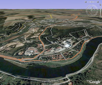
Using standard Google Earth projection, this is not very clear (click for large version):

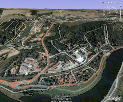
However, you can go to "Tools / Options / 3D View", find a box called "Elevation Exaggeration" and enter maximum possible value here (currently 3.0), instead of default 1.0. The effect is that elevation is now exaggerated to 300% of the original and you can rather clearly see how difficult the journey will be (again, click for large version of the same part of the globe):

P.S: If you have really good brakes, your bicycle can stop on the spot while your body continues moving forward. Hilarity ensues!
4 comments:
Nice T-shirt mr. F
That must have hurt.
Or just use the Cyklotrasy program (although I'm not sure how detailed Prague tracks are)
Or you can use new mashups for Google Maps, one of custom created mashups is for path profile, it shows you distance, elevetaion and draw you a picture
Post a Comment